The ability to see Earth from space has forever changed our view of the planet. Now able to look at the Earth as a whole,. we can observe how its atmosphere, oceans, landmasses, and life interact as global systems
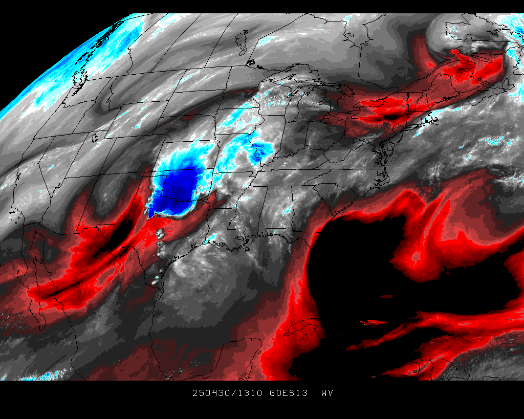
Water Vapor (Monitoring Moisture Patterns)
Heat and moisture from the oceans drive atmospheric circulation and weather patterns. Moisture in the atmosphere forms clouds which cover an average of 40% of the Earth at any given time. Clouds are carried through the atmosphere by the wind. The patterns in cloud motion in this time-lapse sequence show how Earth's winds move in bands or zones which define regional wind directions.
The Gulf Stream, etc.

Continental USA
No comments:
Post a Comment