Infographics, Maps, Music and More
Sunday, April 10, 2022
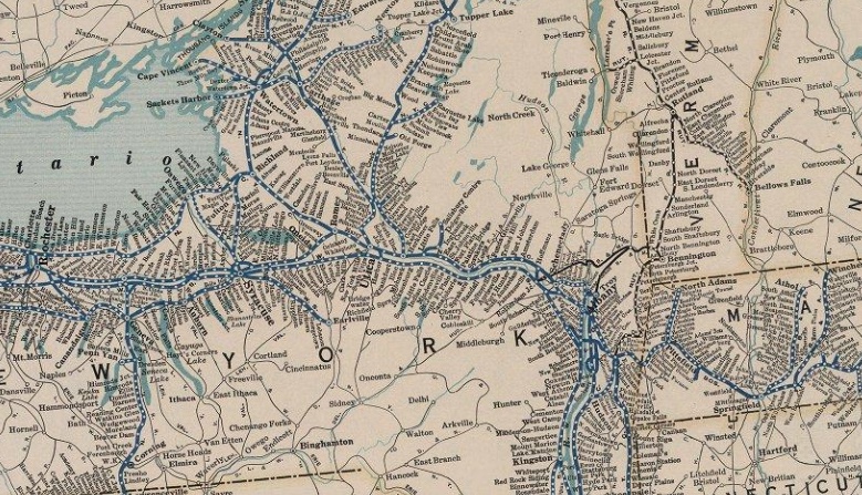
New York Central RR - 1927
Back in the glory days of railroading...
Interactive map >
From the David Rumsey Collection
Newer Posts
Older Posts
Home
Subscribe to:
Comments (Atom)