The U.S. has some truly confounding points on the map. Below are just a few of the geographic anomalies.
Greenville, Mississippi
Rivers are very popular when it comes to setting borders, but over time they meander. The Mississippi River is a great example of how borders many be permanent by rivers change!
Greenville, Mississippi
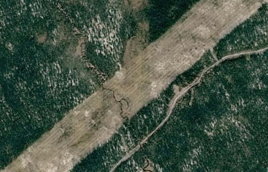
The Kentucky Bend - Oops!
"Surveyors marking the boundary between Kentucky and Tennessee had only estimated where their line would meet the Mississippi; later, more detailed surveys revealed the location of this line to pass rough north-south bends in the river, creating a division of the peninsula."
In 1812, this area of the river was highly disrupted and was reported to even flow backward because of the 1811–1812 New Madrid series of earthquakes, some of the most powerful ever felt in the United States.
Erie Triangle
The Erie Triangle is a roughly 300-square-mile tract of American land that was the subject of several competing colonial-era claims and which was eventually acquired by the U.S. federal government and sold to Pennsylvania so that the state would have access to a freshwater port on Lake Erie.
Twelve-Mile Circle
The Twelve-Mile Circle is an approximately circular arc which forms most of the boundary between the Commonwealth of Pennsylvania and the State of Delaware in the United States. It is not actually a circle, but rather a combination of different circular arcs that have been feathered together.
The boundaries of the circle were the focal point of the eighty-year dispute!
https://en.wikipedia.org/wiki/Twelve-Mile_Circle
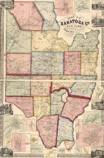
Boston Corners, New York
Boston Corner, NY was formerly part of the town of Mount Washington, Massachusetts and was ceded from Massachusetts to New York on January 11, 1855, because its geographical isolation from the rest of Massachusetts made maintaining law and order difficult.
"The mountain formed an almost impassable barrier between this spot and the seat of civil authority, and it became a sort of "city of refuge" for criminals and outlaws of all classes, who fled to it to escape from the reach of the officers of the law... it also became a resort of prize-fighters, who could here carry out their brutal and inhuman purposes secure from the interference of the authorities." - 1857 description
More About Boston Corners