Showing posts with label Forests. Show all posts

Wednesday, January 5, 2022

Mapping Deforestation

Mapped: 30 Years of Deforestation and Forest Growth, by Country

Today, forests make up around 31% of the Earth’s total land area, spanning 15.68 million square miles (40.6 million km²). Over the past three decades, the world lost a bit more than 4% (685,300 square miles) of its forests, which equates to an area about half the size of India.

Europe and Asia were the only two regions which had significant overall forest growth during this time period, while Oceania saw no significant change and North and Central America saw a slight reduction.

Africa along with South America and the Caribbean were the regions with the greatest amount of deforestation, both losing more than 15% of their forests over the past 30 years. 

Article >


Monday, June 15, 2015

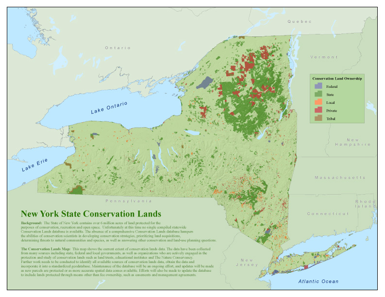
New York State Interactive Conservation Maps

New York State Lands Interactive Mapper

An internet mapping tool that allows users to discover recreational features such as roads, trails, and parking lots on Department of Environmental Conservation (DEC) owned lands, print maps, and obtain supported information on the use of state owned forest lands.
 

State Lands Interactive Mapper (SLIM) >


 New York Protected Areas Database (NYPAD)

 These lands cover over six million acres, approximately 20% of New York State.

Interactive Map >

Tuesday, July 29, 2014

The Health Benefits of Trees

Air Pollution Removal by Trees
 

It is becoming increasingly clear that trees help people live longer, healthier, happier lives—to the tune of $6.8 billion in averted health costs annually in the U.S., according to research published this week. And we're only beginning to understand the nature and magnitude of their tree-benevolence.

Article >


Monday, May 12, 2014

Interactive Map of The Appalachian Trail

The Appalachian Trail (A.T.) interactive map, was built cooperatively by the Appalachian Trail Conservancy (ATC) and National Park Service using Google's mapping technology.

View Interactive Map >


Tuesday, September 3, 2013

Earth Pulse - Vital Statistics


Vital Statistics 

Map and compare global trends -


Check this one out - it is pretty amazing!
Population, Resources, Deforestation, Political Migration and More...
Map and compare global trends.

Friday, May 31, 2013

Saturday, May 25, 2013

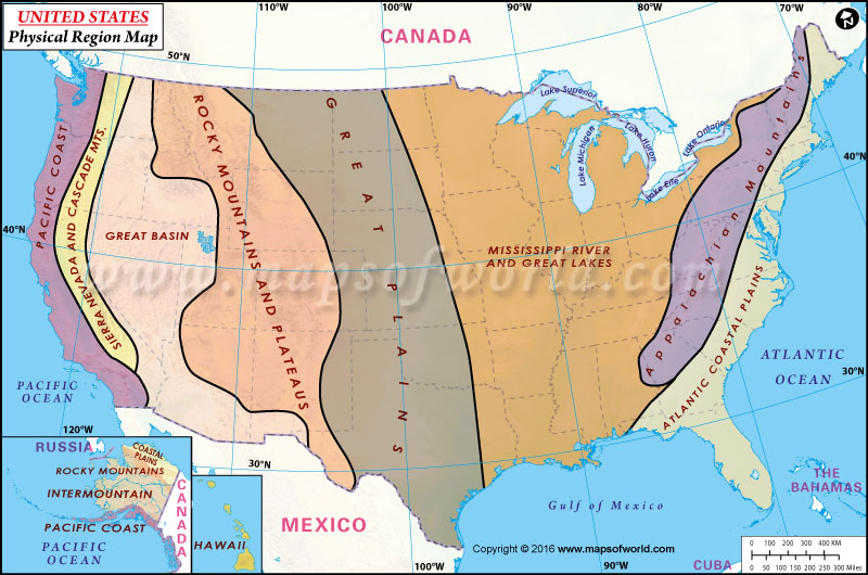
United States - Visual Quick Study

U.S. Climate Zones


U.S. Forests


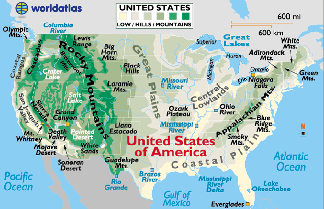
U.S. Mountain Ranges


(both kinda lame?)

U.S. Watershed


Regions


U.S. Rainfall


Average 1981 - 2010

Major U.S. Rivers


U.S. Population Density


In 3D

Sunday, March 31, 2013

Our Changing Forests

The world’s forests absorb roughly a quarter of human emissions of carbon dioxide, and help limit the increase of the gas in the atmosphere. 
Many are threatened by a variety of factors...