Scribner's statistical atlas of the United States, showing by graphic methods their present condition and their political, social and industrial development. Amazing maps, infographics, etc. from 1880!
Library of Congress Geography and Map Division
Scribner's statistical atlas of the United States, showing by graphic methods their present condition and their political, social and industrial development. Amazing maps, infographics, etc. from 1880!
Indian tribes, reservations and settlements in the United States
1939 - Library of Congress Geography and Map Division
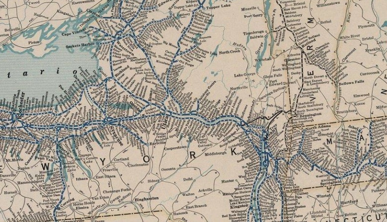
The David Rumsey Historical Map Collection has a great assortment of historical maps, including quite a few railroad maps. The interface to zoom in and pan is really well implemented and the maps listed below are wonderful visual references to the importance of railroading in the late 1800s and the turn of the century.
This is a great site - there are a large assortment of map quizzes to choose from. Some are easy, some are fairly difficult! Highly recommended...
Fascinating data visualizations of our migratory ancestry as humans ...
Max Planck Institute and the University of Michigan
Researchers at the University of Oxford’s Big Data Institute have created the largest-ever family tree, which links more than 27 million people — both living and long dead — across the world.
At more than 1,000 miles from civilization, its considered the most remote location on Planet Earth... It lies between New Zealand and South America and is fittingly known as the spacecraft cemetery, as the United States, Russia, Japan, and Europe have used it to dump some 263 pieces of space debris since 1971.